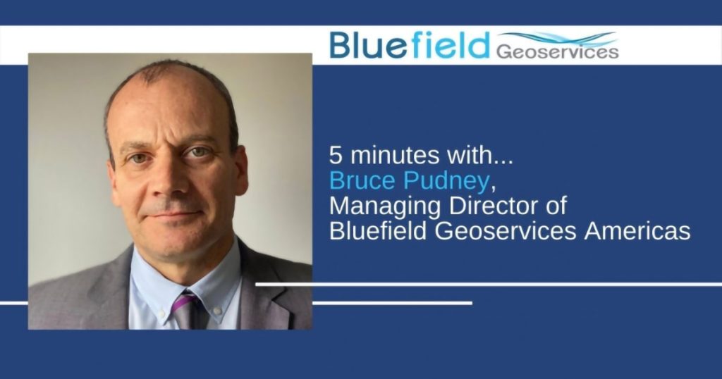
Besides Bluefield Geoservices’ custom geotechnologies and geoengineering solutions, the team’s differential is the breath and caliber of professional experience. In a series of short Q&As, we shine a spotlight on the experts Redefining Geoscientific Frontiers.
How did you get started in the subsea industry?
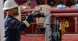
I have been involved in seafloor intervention activities since 1990, working with submarine cable repair and re-burial operations through the sand waves of the English Channel seabed with British Telecom (Marine) Ltd, followed by field trails of various de-trenching, cut and hold grapnels and plough share designs with Cable & Wireless (Marine). Through these experiences I gained a greater appreciation for soil dynamics and the need for geotechnical studies in cable burial projects. I have bounced between the subsea telecom and marine environmental sectors throughout my career. My first seafloor drilling experience was actually with my own hands, drilling an anchor hole for an artificial reef module in the Persian Gulf, and my first geotech sampling experience was using a vibracore sampler and Van Veen Grab sampler in Tampa Bay for a proposed LNG offloading pipeline route.
What projects and technologies have had the greatest impact on you over the years?
As I think back over my career, spanning different sectors of the maritime industry, there are several key developments that have impacted my working world. But it is technology that has transformed the way we work, in particular Computer Aided Modeling and lay control for submarine cable laying, which revolutionized the subsea telecom cable installation industry. There are countless other breakthrough technologies. Health, Safety, Security and Environment (HSSE) practices have made fundamental changes across the board. Finally, Data Management and Geo-referenced Data Visualization, have transformed how we present essential data to end-users in a relevant and intuitive format, not least for geotechnical related data.
In terms of projects, my first major role involved project management offshore end and shallow water burial operations for subsea telecommunication projects on the US west coast. These projects were full of surprises, from HDD drilling issues to target burial depth inconsistencies and subsea canyons. As the technology for cable installation and burial evolved, geotechnical issues became a constant topic in projects.
One event that impacted me, as it did so many, was the Deep Horizon disaster. As tragic as it was, it showed me the power of collaboration and how so many different government, commercial and academic organizations can come together and achieve seemingly impossible-to-coordinate operations in extremely short timeframes in the face of dire environmental impact. I had a small part in organizing the NRDA Spill Response water sampling fleet of vessels, specifically the vessel crews over a period of two years.
What, in your opinion, does the future hold for offshore development?
The application of offshore autonomous seafloor and water column modelling for improved exploration, mapping and reporting. The deeper we explore, the more we need to develop our ability to access, monitor and visualize data at these depths.